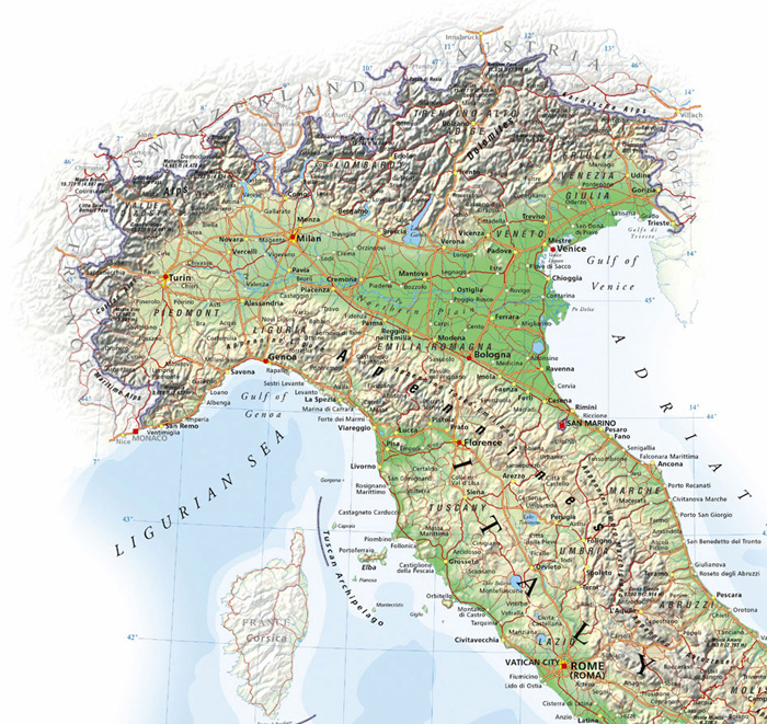
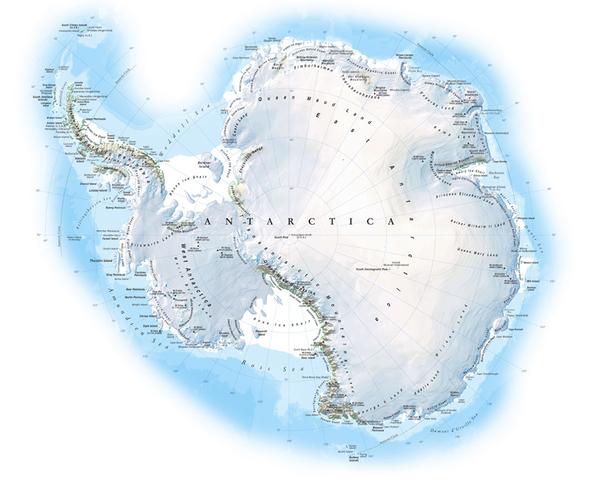
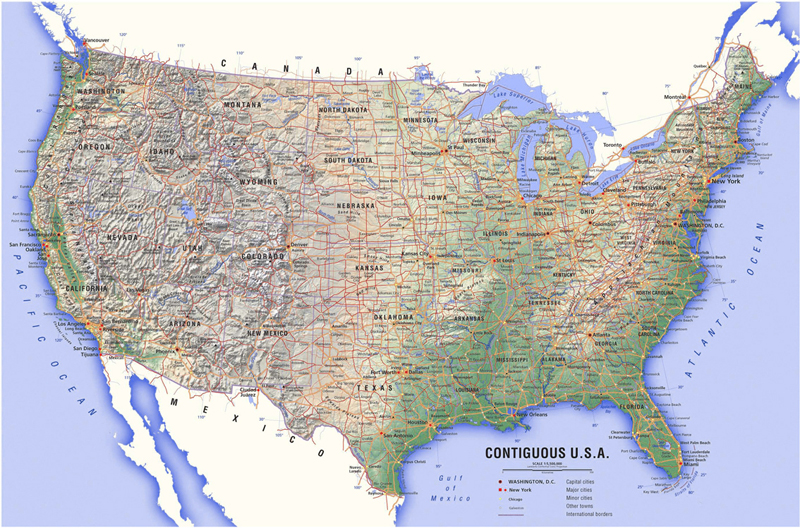
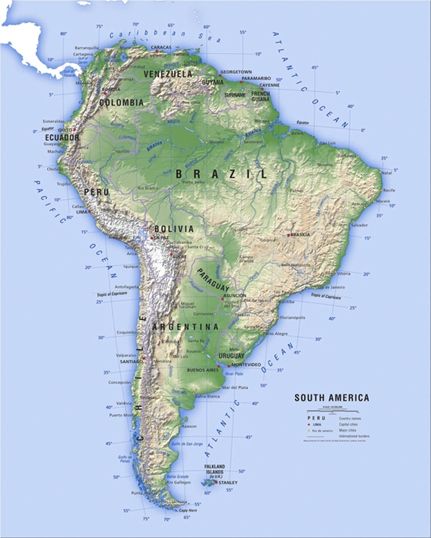
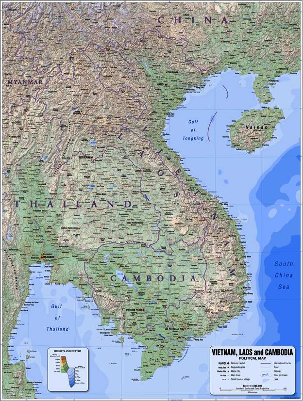
Atlas Maps
Atlas maps are small-scale maps that show both physical and political data combined with a topographic shaded relief background. Most common physical data include coastlines, rivers, lakes and mountains. Basic political data would be national and provincial borders, cities and towns, roads, railways and special interest areas.
Copyright Map Illustrations